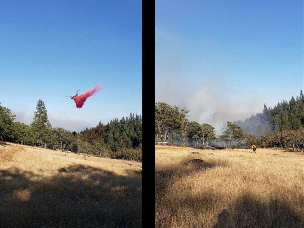
Crews worked through the night on the Microwave Tower fire near Mosier, taking advantage of the cooler temperatures and higher humidity. Much of the progress was along the southern portion of the fire, while the northern portion continues to present challenges due to limited access and steep slopes. Air resources played a critical role in helping slow the fire’s spread in difficult terrain.
The fire is currently being mapped, but early indications show that it is roughly 591 acres. Currently, the fire is backing down north facing slopes just west of Mosier, and smoke is visible from I-84.
On July 23rd, winds are predicted to be calmer than the day before, allowing firefighters a good opportunity to continue the progress from last night. The Type 1 Great Basin National Team currently managing the Whiskey Creek Fire in Hood River County will assume command from Oregon Department of Forestry Central Oregon District tomorrow morning at 6 a.m. The incident command post will be at the Hood River High School.
Evacuation levels have not changed since the last Wasco County Sheriff’s update at 10 p.m. July 22nd. The gymnasium at the Hood River Middle School is a designated Red Cross Shelter for those evacuating.
LEVEL 3 – GO NOW! Evacuate immediately from Hwy 30 south the Proctor Rd., east to Huskey Rd and the border of the City of Mosier and west to the Hood River County line.
LEVEL 2 – GET SET from the City of Mosier and Huskey Rd., south to Wilson Rd., and east to Mosier Creek Rd.
LEVEL 1 – GET READY from Mosier Creek Rd., east to Dry Creek Rd., north to the City of Mosier border and south to Osborn Cutoff Rd.


